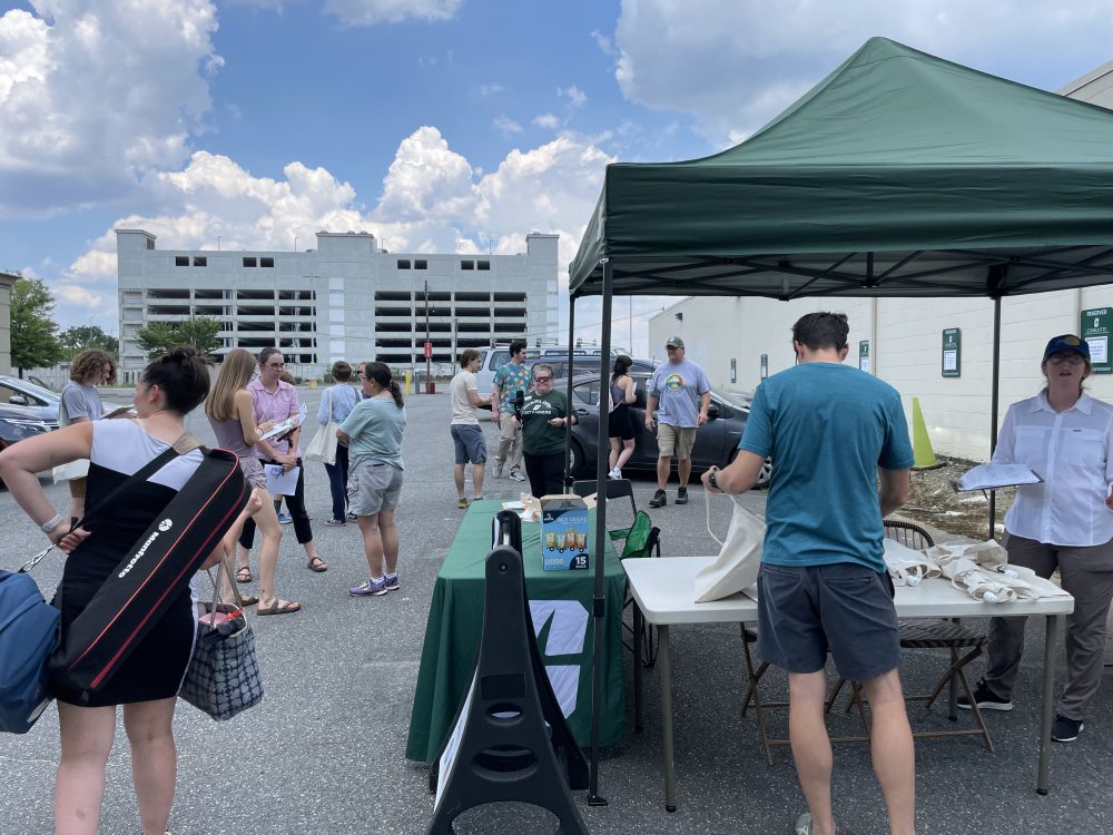
Charlotte Heat Mappers lead successful community science campaign
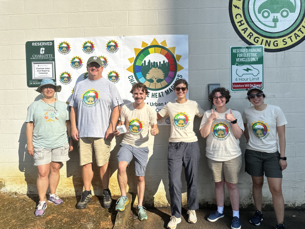
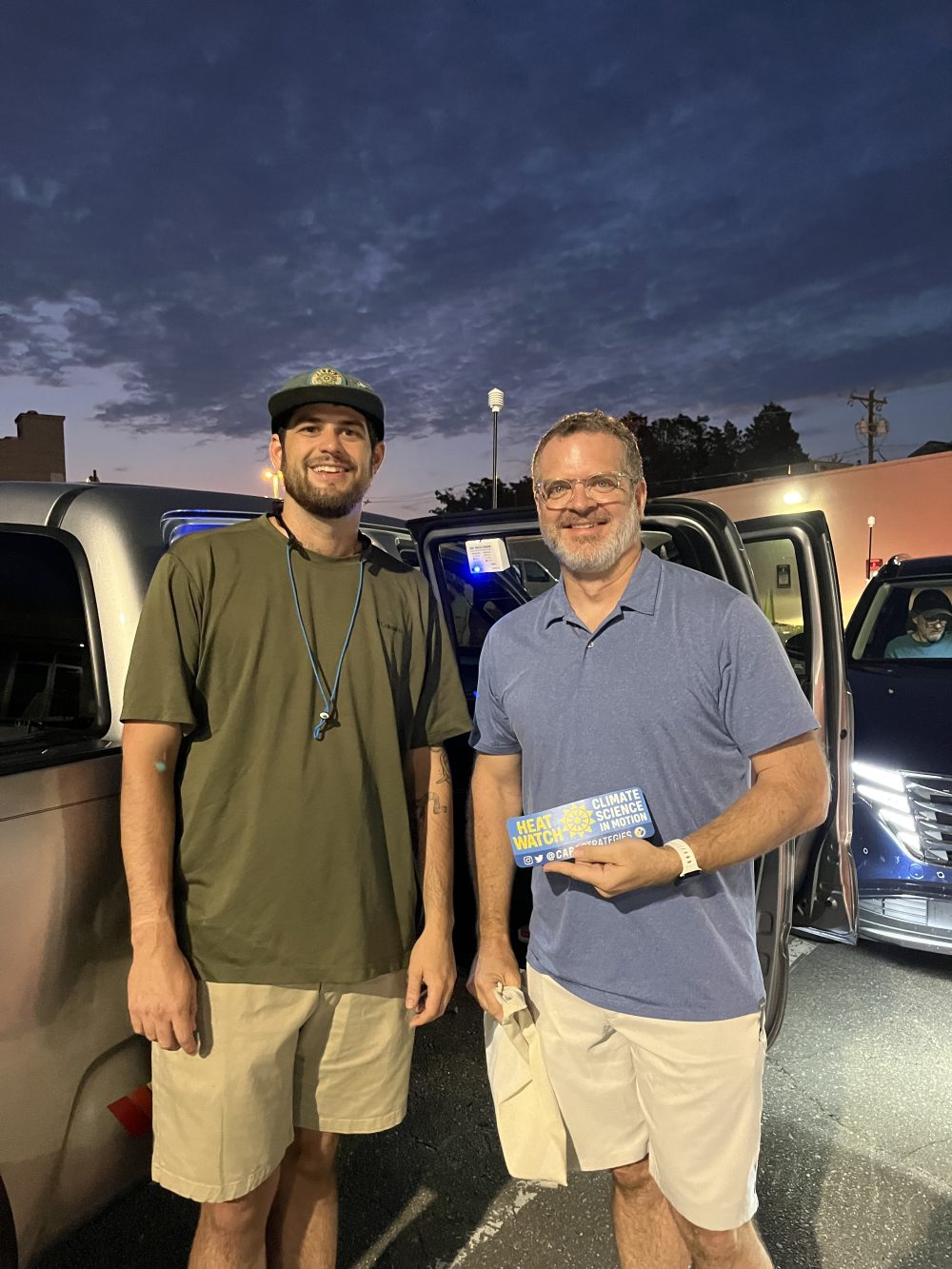
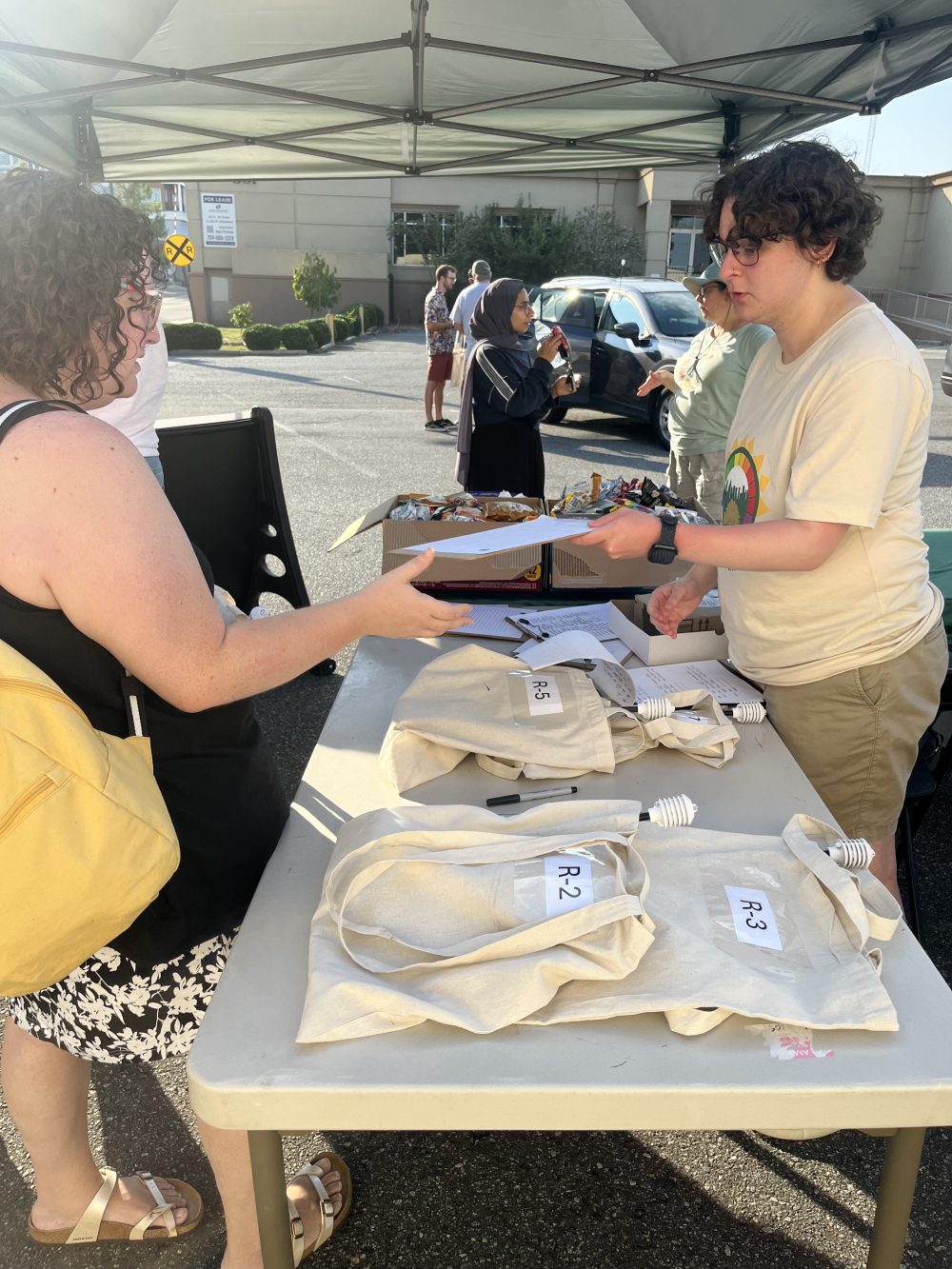
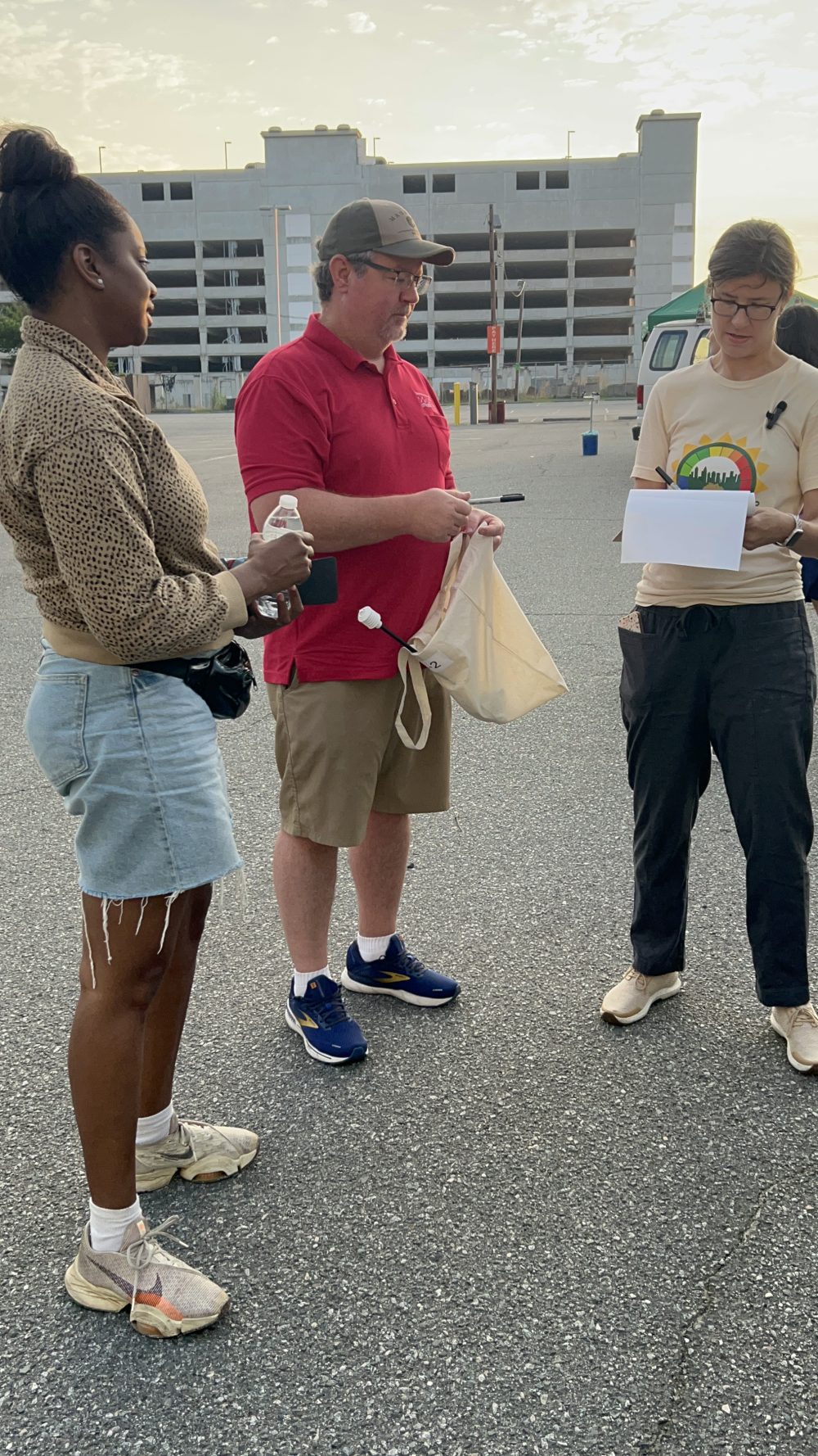
On July 14, the Charlotte Heat Mappers and 60+ volunteers carried out a successful community science mapping campaign, gathering temperature and humidity data across 100 square miles of Charlotte’s urban heat island. The goal of the mapping effort, funded by a grant from NOAA, is to better understand disparities in the effects of urban heat across Charlotte communities and to identify specific locations at which to prioritize heat mitigation strategies. The team expects to receive the final report and data from the mapping campaign within the next 6-8 weeks. Both the report and the data will be made publicly available. See links to local news coverage:
WFAE 90.7 As heat broils the city, Charlotte Heat Mappers seeks out the hottest neighborhoods (July 18, 2024)
WSOC-TV9 Mapping out Charlotte’s hot spots to understand the urban heat island effect (July 14, 2024)
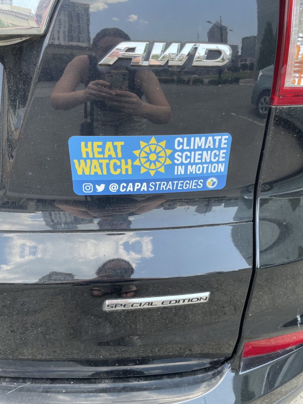
Below is a gallery of photos taken during the campaign:
